For most of the twentieth century, Gulf cities grew around the car. Cheap fuel, wide roads and low-density suburbs made driving the natural choice, and public transport was an afterthought. Over the past two decades, that has begun to change. Several cities have opened metro systems, and understanding why, and what they have and have not changed, says a lot about how these cities are evolving.
Which cities have metros, and when did they open?
Dubai opened the first modern metro in the Arabian Peninsula in 2009. Doha followed with its own system in 2019. The most recent and largest is in Riyadh, which opened in stages at the end of 2024 and the start of 2025.
According to railway trade press and Saudi news outlets, the Riyadh network has six lines. The Blue, Yellow and Purple lines opened on 1 December 2024, the Red and Green lines on 15 December 2024 and the Orange line on 5 January 2025. The official figures put the network at 176 kilometres and 85 stations, although an independent rail reference lists a shorter 162 kilometres, a difference worth noting when comparing sources. Trade reports also describe the trains as driverless, built by European manufacturers.
Why did Gulf cities build them?
Several pressures came together.
- Congestion. Population growth and car ownership pushed traffic to levels that roads alone could not handle, especially in fast-growing capitals.
- Land and density. Governments wanted to develop areas around stations, and to concentrate offices, housing and services along transport corridors rather than spreading further.
- Economic strategy. Efficient transport supports business districts, tourism and major events. The role of transport in national planning is part of the story in how Saudi Vision 2030 is organised.
- Environment. Cutting car trips can reduce emissions and air pollution, a goal that fits wider national plans.
What is different about building in a hot climate?
Heat shapes every design decision. Stations are enclosed and air-conditioned, and the walk from street to platform is often covered or shaded. Trains need strong cooling, and the power demand is high, particularly in summer. Elevated sections have to withstand sun, dust and sand. Because few people will walk long distances in extreme heat, the distance between a station and the final destination, known as the last mile, is a major challenge. Cities respond with feeder buses, shaded walkways, taxis and ride-hailing connections, and sometimes by placing stations inside or next to major buildings.
Cooling itself is a theme in the region’s infrastructure, as explained in how district cooling keeps Gulf cities cool.
Who builds and runs them?
Metros are usually delivered through large contracts, involving international engineering and construction firms, rolling-stock makers and operators, with government-owned agencies in charge. In the United Arab Emirates, transport is mainly a matter for each emirate, so the Dubai system is planned by the emirate’s own authority, an example of the local control discussed in how the United Arab Emirates is governed. In Saudi Arabia and Qatar, national or city-level bodies lead.
How well do they work?
Reports from operators and the press give ridership figures, and early reports for Riyadh described millions of passengers in the first weeks. Such figures should be read with caution, since openings often bring a rush of curious first-time riders, and long-term ridership depends on how much of the network is complete and connected and on whether people shift from cars.
Independent evidence on the effect on traffic and travel habits takes years to accumulate. Studies of metros elsewhere suggest that ridership grows as networks mature, as housing and jobs concentrate around stations, and as the cost and inconvenience of driving rise. Gulf cities have specific factors, including low fuel prices, abundant parking and the cost advantage of cars for families, that may slow the shift.
What is it like to ride one?
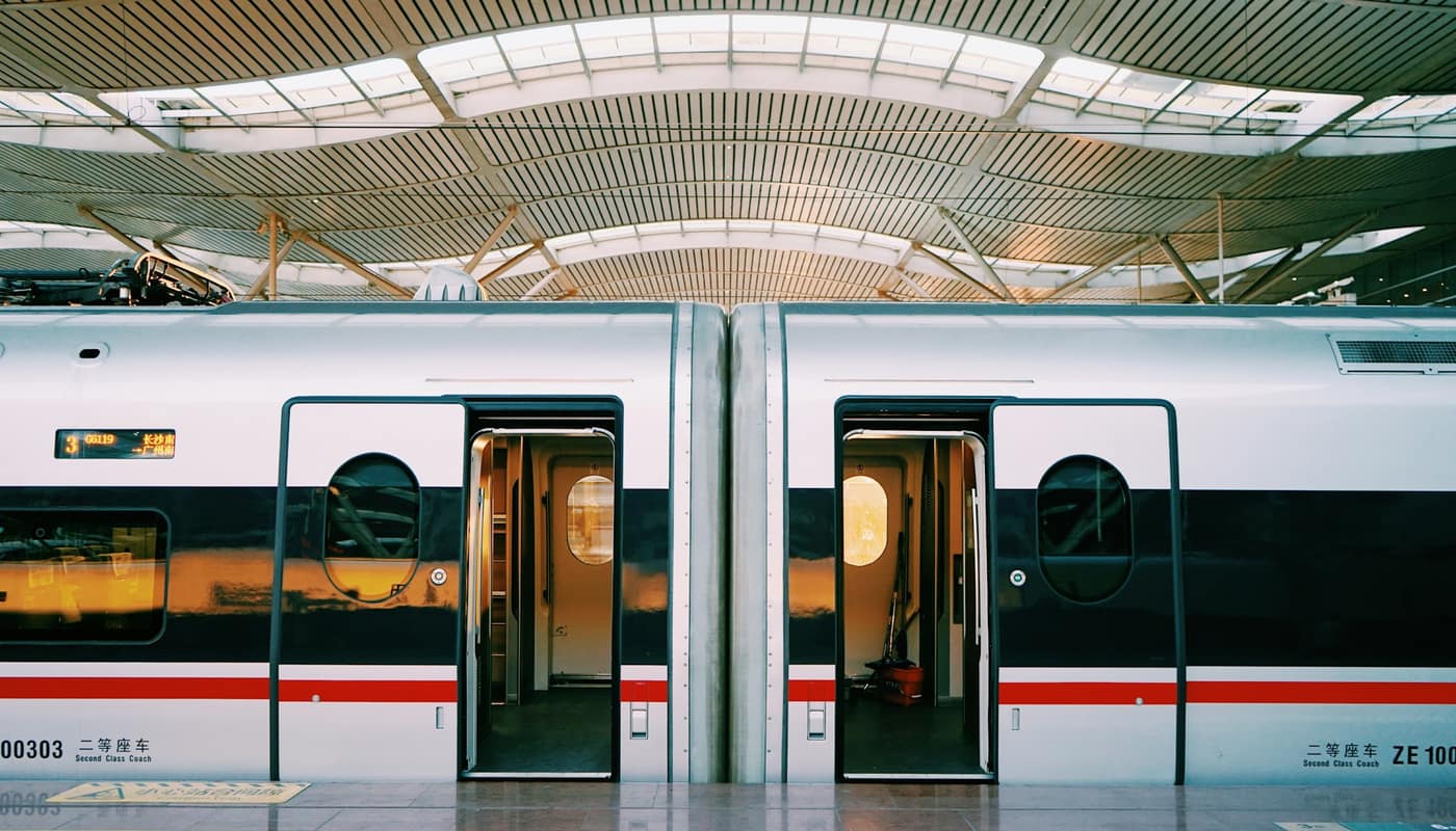
Visitors often notice how different the experience is from older metros. Stations are clean, brightly lit and climate-controlled, with platform screen doors that separate passengers from the track. Trains are driverless on the newest lines, so the front carriage can have a panoramic window, and many systems include a premium or family section. Fare cards, which can often be topped up on a phone, link metro and bus travel, and signage is in Arabic and English. These features reflect the fact that the networks were designed from scratch in the digital era, with the most recent technology and relatively few legacy constraints.
There are also local rules. Eating and drinking are usually restricted on trains and in stations, and some systems have areas reserved for women and children. Passengers should read the operator’s rules before travelling, since they differ by city and are enforced with fines.
How do metros connect with the rest of the transport system?
A metro is most useful as the spine of a wider system. Buses feed passengers to stations, parking areas near terminal stops let drivers switch to rail, and tram or monorail lines serve particular districts. Airports, major universities, business districts and shopping centres are natural anchor points, and several of the new lines were planned to connect them. Longer-distance rail is developing alongside, with national and regional projects aimed at linking cities, though each has its own timetable and funding.
Planners also consider the cost of operating and maintaining the networks over decades, not just building them. Power, cooling, cleaning and spare parts are continuing costs, and ticket revenue rarely covers them in full anywhere in the world, so governments treat metros as public services supported by public funds.
What challenges remain?
Four stand out.
- Coverage. A network that does not reach where people live and work will be used less. Extending lines and feeders is a long process.
- Integration. Seamless fares and timetables between metro, bus and other modes make public transport easier to use.
- Urban form. Low-density neighbourhoods are hard to serve efficiently. Compact development around stations helps, but it takes time to build.
- Culture and habit. Many residents are used to driving, and changing that requires convenient, reliable service as well as policy measures.
How do the three systems differ?
Dubai’s metro was built as an elevated and underground line serving the city’s main commercial axis and the airport, and it has been extended and supplemented by trams and other modes. Doha’s system was planned as part of the preparations for large international events and a wider urban redevelopment, with stations designed as architectural landmarks. Riyadh’s network is the largest in scale and was designed as a complete grid of lines radiating across a city of sprawling districts, opened in rapid sequence over a few weeks. Each reflects its city’s size, planning style and priorities, so comparing ridership or length alone misses much of the picture.
What should readers watch?
The key indicators are ridership over several years, the share of trips made by public transport, the completion of planned extensions and the development around stations. Official transport authorities publish figures, and independent researchers sometimes review them. As with other large projects in the region, schedules and scope can change, and the most recent official announcement is the best guide to what is planned and when.
Sources: Riyadh Metro official announcements; Railway Gazette International; Arab News