Egypt is a large country in area, but most of it is desert. The people, farms and cities are packed into the valley and delta of a single river, the Nile. That fact explains much about Egypt’s history, its politics and its modern challenges, and it is worth looking at in numbers and in geography.
How much of Egypt depends on the Nile?
According to the Food and Agriculture Organization of the United Nations, the Nile supplies nearly all of Egypt’s water. The FAO’s water database gives the river’s length as about 6,650 kilometres, while noting that there is ongoing debate about the true sources of both the Nile and the Amazon, and that some studies place the Amazon first. The FAO also states that about 95 percent of Egypt’s population lives in the Nile valley and delta, citing an Egyptian water ministry source from 2005, and that these areas together make up roughly 4 percent of the country’s land area. Britannica’s student encyclopedia describes Egypt’s population as about 109 million in 2026, with most people in the valley and the delta.
Population estimates change, but the pattern has not. A visitor flying over the country sees a green ribbon between two deserts, and beyond it, a fan-shaped delta where the river reaches the Mediterranean.
What did the river do before dams?
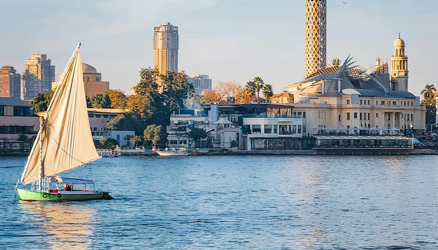
For thousands of years, the Nile flooded each summer, depositing fertile silt on the land beside it. Farmers planted after the water receded, and the rhythm of flood and harvest shaped the calendar, taxation and religion of ancient Egypt. The river was also the main highway. Boats carried people, grain and stone along its length, with the current flowing north and the prevailing wind pushing sailing vessels south.
This dependence made rulers and communities pay close attention to the flood. A weak flood meant a poor harvest, and a very high one could damage villages. Records and instruments for measuring the river’s level were developed to anticipate its behaviour.
What did the Aswan High Dam change?
The Aswan High Dam was built between 1960 and 1970, according to the FAO’s description. It created Lake Nasser, described as the largest artificial lake in the world. The dam allowed large-scale storage of water independent of the natural flood, so that Egypt could regulate the river’s flow across seasons and across years of high and low rainfall upstream.
The benefits were large: more reliable irrigation, multiple crops a year on some land, protection from floods and the generation of hydroelectric power. There were also costs. The silt that once fertilised the valley is now trapped behind the dam, so farmers rely more on fertiliser. The river’s reduced flow and sediment have affected the delta coast, which faces erosion and, because the land is low-lying, a rising sea. These issues are widely discussed by hydrologists and agricultural experts.
How is the water used?
The FAO reports that more than 80 percent of the water taken from the Nile in Egypt is used for agriculture. Irrigated farming in the valley and delta grows crops such as wheat, rice, cotton, sugar cane and vegetables, and it employs a large share of the rural population. The remainder serves homes, industry and the energy sector.
Egypt’s population has grown rapidly, and the amount of fresh water available per person has fallen. The FAO’s country profile projected per-capita water resources of about 560 cubic metres per year by 2025, a figure from an earlier projection that should be treated as historical, but which illustrates why the government regards water as a strategic constraint. Authorities encourage efficient irrigation, reuse of treated water and, in coastal areas, desalination, a technology explained in how Gulf desalination turns seawater into drinking water.
How do farmers actually use the river?
Most irrigation in the valley and delta is gravity-fed from a network of canals that branch from the river and its barrages, and from there into smaller channels and field ditches. Farmers receive water according to schedules that the irrigation authorities set, and they often take turns, a system that has changed over time but that rests on a very old principle: water is shared out by agreement, not by free access. Wasteful flooding of fields still occurs in some areas, which is why modernisation programmes promote drip systems, laser-levelled fields and lined canals.
Fields are small. A typical holding is a few acres, worked by a family, and the cropping calendar is dense, with winter wheat and clover followed by summer maize, rice or cotton on suitable land. Because the soil is irrigated all year, salt can build up if drainage is poor, so drains and sometimes pumping are as important as the canals that bring the water in.
What does the delta face?
The Nile delta, where the river fans out to the Mediterranean, is among the most densely settled agricultural areas in the world, and it is also one of the most exposed to rising sea levels. The land is low, parts of it are sinking slowly as the sediments compact, and the sea can push salt water into groundwater and soil. With the Aswan dam trapping much of the river’s silt, the coast no longer receives the sediment that once built it up, so beaches and barrier bars erode in places. Researchers study these changes using satellite measurements and field surveys, and international bodies, including the Food and Agriculture Organization and scientific panels on climate, treat the delta as a priority area for adaptation. The measures discussed include coastal barriers, adjusting crop patterns and moving settlements, although each has costs and trade-offs.
What other roles does the river play?
The Nile is still a transport route, although roads and railways now carry most freight. It supports tourism, with river cruises between Cairo and Upper Egypt. It also links Egypt to its southern neighbours, since the river flows through several countries before reaching the Mediterranean. Questions of how upstream countries use the water are matters of international negotiation and law, and they have been the subject of long-running diplomacy. This article does not take a position on them.
Egypt also has a second great waterway: the canal that links the Mediterranean and the Red Sea, covered in why the Suez Canal matters to world trade. The Nile supplies Egypt’s people and farms, and the canal links it to the world economy.
How does this fit the wider Arab world?
Egypt is the most populous Arab country and a founding member of the League of Arab States, whose history and role are covered in what the Arab world is and how the Arab League works. Its dependence on a single river contrasts with the Gulf, where rainfall is minimal and rivers are absent, and where water comes mainly from aquifers and desalination. Comparing the two shows two different answers to the same problem: how to live in a dry region.
What should readers watch?
Three trends are likely to shape the Nile’s role. Population growth raises demand for water and food. Climate change may alter rainfall patterns in the river’s upstream basin, and rising seas threaten the delta. And decisions about upstream dams and water sharing involve several countries. Official data from the water and agriculture ministries and from the FAO’s AQUASTAT database give the best figures, and readers should note the year of any statistic.
Sources: Food and Agriculture Organization of the United Nations; Britannica