The Arabian Peninsula is one of the largest peninsulas in the world, a roughly rectangular block of land in south-western Asia bordered by water on three sides. It is the setting for most of the stories that Arabian Weekly covers, and a short map in the mind helps make sense of its politics, economies and cultures.
Where is it and how big is it?
The peninsula lies between the Red Sea to the west, the Gulf of Aden and the Arabian Sea to the south and the Gulf of Oman and the Gulf to the east. Its northern edge merges into the deserts of Jordan and Iraq without a sharp natural boundary. Britannica gives its area as roughly 3.1 million square kilometres including offshore islands, though another Britannica summary uses a lower figure of 2.6 million, a reminder that the northern limit is a matter of convention. Either way, it is larger than most European countries combined.
Saudi Arabia occupies about four-fifths of the peninsula, according to Britannica. The rest is shared among Yemen in the south-west, Oman in the south-east, the United Arab Emirates along the Gulf coast, and the smaller states of Qatar, Bahrain and Kuwait. These seven states are often grouped with the northern neighbours Jordan and Iraq in discussion of the wider Arab Gulf and Levant, but the peninsula proper is the seven.
What does the land look like?
The peninsula is not uniform. Geographers distinguish several zones.
- The Red Sea coast. A narrow coastal plain, known in the south as the Tihama, rises quickly to a line of mountains. Along this edge lie the historic region of the Hejaz and the highlands of Asir further south.
- The central plateau. The interior, called Najd, is a high, mostly stony plateau with scattered oases, and it is the historic heartland of Saudi Arabia.
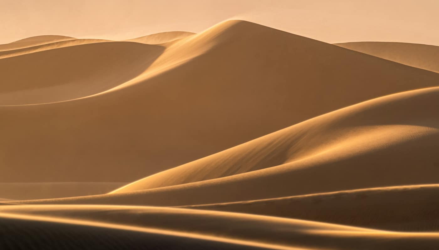
- The sand deserts. Large seas of sand lie to the north and south of the plateau. The largest is the Rub’ al-Khali, or Empty Quarter, which Britannica describes as about 650,000 square kilometres, mainly in south-eastern Saudi Arabia with portions in Yemen, Oman and the United Arab Emirates.
- The eastern lowlands. Along the Gulf coast, the land is low and flat, with salt flats and coastal marshes, and it is home to much of the region’s oil and gas production.
- The southern and eastern mountains. In Oman and Yemen, high mountain ranges catch moisture from the sea and support terraced farming, forts and villages.
What is the climate?
Most of the peninsula is arid. Rainfall is low and irregular, and summer temperatures in the interior and along the Gulf coast are among the highest in the world, often accompanied by high humidity on the coast. Winters are mild, which is why much outdoor activity and tourism is concentrated between autumn and spring. Mountain areas are cooler, and parts of the south-west receive seasonal monsoon rain, which supports greener landscapes. In Oman’s Dhofar region, for example, a summer monsoon season turns the hills green.
These conditions explain many features of life in the region: architecture designed for shade and airflow, a strong tradition of travelling at night or in the cool season, and today’s heavy dependence on air conditioning.
Where does the water come from?
Historically, people lived where water was available: oases fed by springs and wells, wadis that flow after rain, and mountain catchments. Date palms, grains and vegetables grew in these pockets, and trade routes linked them. Some communities built sophisticated water systems, such as the falaj channels of Oman, which are discussed in Oman’s falaj irrigation and the villages it feeds.
Today, groundwater from deep aquifers and desalinated seawater supply cities, and rainwater is a minor source. Because aquifers recharge very slowly, using them faster than they refill lowers the water table, a pressure that appears in official reports on the region. Desalination is the other main answer, and its costs and energy needs are examined in how Gulf desalination turns seawater into drinking water.
What lives in the desert?
Deserts are not empty. Plants and animals have adapted to heat and scarcity. Acacia and other hardy trees grow in wadis, grasses appear briefly after rain, and date palms thrive wherever there is shallow groundwater. Wildlife includes oryx, gazelles, foxes, lizards and many bird species, and the peninsula lies on migration routes for birds travelling between Europe, Asia and Africa. Camels, domesticated long ago, made long-distance travel and pastoral life possible, and they remain culturally important.
Conservation is an active issue. Several protected areas have been established, and reintroduction programmes have returned species such as the Arabian oryx to the wild. The region’s sand dunes and rock formations are also the basis of a growing nature-based tourism sector, as visitors seek out desert camps, rock formations and star-filled night skies. The pressures that tourism can bring, from litter to off-road damage, are a reason that many protected areas limit vehicle access and require local guides.
How did geography shape history and trade?
The peninsula sits between three seas and three continents, so it has long been a crossing point. Incense, spices and goods moved along overland caravan routes between the south of Arabia and the Mediterranean, and sailors used the monsoon winds to link the coasts of Arabia, East Africa and India. Ports on the coast became trading centres, and oasis towns on the routes prospered.
Pilgrimage added another layer. The holy cities of Mecca and Medina in the Hejaz draw Muslims from across the world, and for centuries the movement of pilgrims shaped the region’s roads, ports and services.
How does geography shape the present?
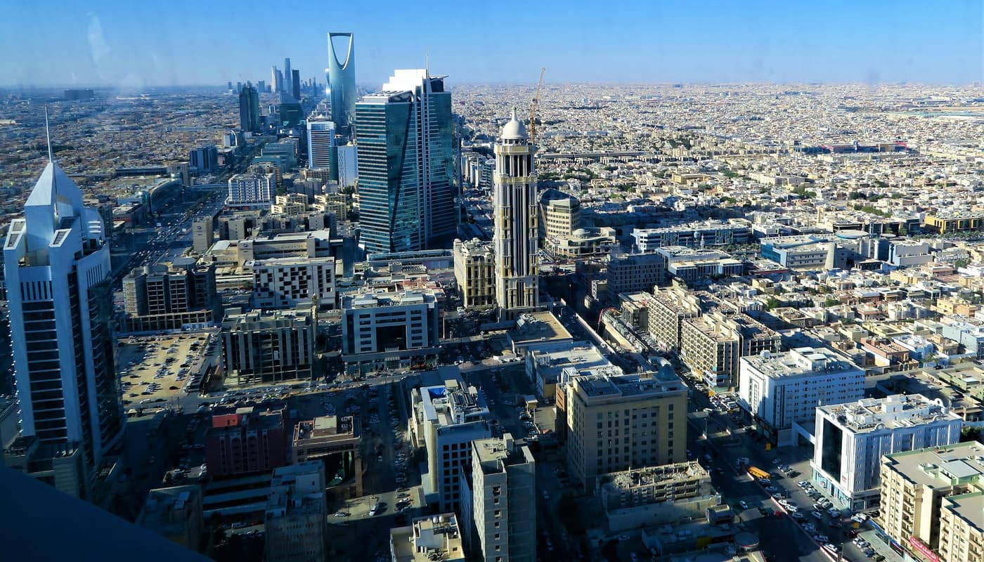
Several modern patterns follow from the physical map. Population is concentrated in coastal cities and a few inland centres, with large areas almost empty. Oil and gas fields lie mostly in the east, and exports leave through ports on the Gulf, many of them through the narrow outlet at the Strait of Hormuz. Roads, railways and pipelines cross deserts that were once crossed by camel caravans, and large infrastructure projects often aim to link coastal and interior economies.
Population is also unevenly composed. The Gulf states in particular host large numbers of foreign workers, a topic covered in why expatriates make up most of the Gulf’s population.
What are the quick facts?
- Area: Roughly 3 million square kilometres, depending on the definition of the northern boundary.
- States: Saudi Arabia, Yemen, Oman, the United Arab Emirates, Qatar, Bahrain and Kuwait.
- Largest desert: The Rub’ al-Khali, about 650,000 square kilometres.
- Surrounding waters: The Red Sea, the Gulf of Aden, the Arabian Sea, the Gulf of Oman and the Gulf.
- Share held by Saudi Arabia: About four-fifths of the peninsula.
What should readers keep in mind?
When reading about the region, it helps to check the map for three things: whether a place is on the coast or inland, which sea it faces, and whether it has a natural water source. These questions explain more about why a town exists, how it earns a living and what risks it faces than most political categories do. They also remind us that the “empty” desert has been lived in, used and crossed for thousands of years.
Sources: Britannica; UNESCO World Heritage Centre